Quick answer
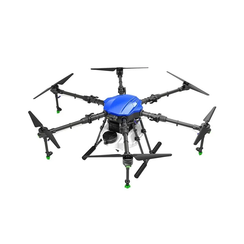
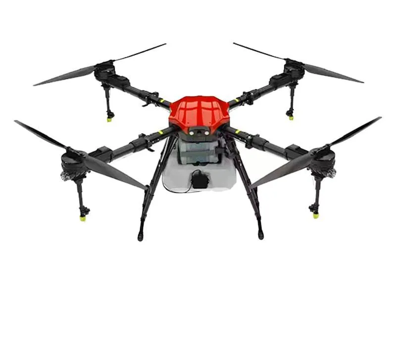
A field survey drone collects aerial images (or LiDAR data on special models) to produce boundaries, elevation models and contour maps of farmland. It helps plan drainage, land levelling, irrigation layout and orchard planting. For legal land records and disputes, the official survey and revenue process still applies.
Key takeaways
- Elevation models show slopes and low spots that cause waterlogging.
- Useful before drip/irrigation layout, levelling and orchard planting.
- Accuracy depends on equipment, RTK/GCPs and processing.
- Drone surveys do not replace official land records.
Uses of a drone field survey
- Measuring field and plot area
- Mapping slopes, high spots and low spots
- Planning drainage channels and bunds
- Planning land levelling work
- Designing drip and sprinkler layouts
- Laying out orchard and plantation rows
Survey outputs explained
| Output | What it is | Used for |
|---|---|---|
| Orthomosaic | Scaled aerial map | Area, boundaries, layout |
| DSM / DTM | Surface or terrain elevation model | Slopes, levelling |
| Contour map | Lines of equal height | Drainage, bunds, irrigation |
| Area report | Measured areas of plots | Planning and records |
Photogrammetry vs LiDAR
Photogrammetry
Uses overlapping photos to build maps and elevation models. It is cost-effective and works well on open fields with visible ground.
LiDAR
Uses laser pulses and can measure ground under some vegetation. It is more expensive and generally used where higher precision under canopy is needed.
Important limits
A drone survey is a planning tool. It does not replace official land records, demarcation by the revenue department or legal survey processes. For boundary disputes, follow the official procedure.
Survey accuracy depends on the drone, positioning method (RTK/PPK or ground control points), flight planning and processing. Ask what accuracy you can expect for your purpose.
Deliverables and next steps
[List your deliverables — e.g. map, elevation map, area report.] Share your location, area and purpose, and we will explain what is possible and how long it takes.
Drone survey vs traditional ground survey
| Point | Drone survey | Ground survey (total station / GPS) |
|---|---|---|
| Speed on large areas | Fast | Slower |
| Data density | Millions of points, full map | Selected points |
| Visual record | Full aerial image | Limited |
| Precision on points | Good with RTK/GCPs | Very high |
| Legal record | Not a legal document | Used in official surveys |
Planning land levelling and drainage with a survey
Uneven fields waste water and fertiliser: high spots stay dry while low spots get waterlogged. A drone elevation model shows exactly where the high and low areas are and how much soil needs to move. Contractors can use this information to plan laser-levelling work more efficiently.
For drainage, contour maps show the natural slope of the land, so channels and outlets can be placed where water will actually flow. This is especially useful for paddy fields, orchards on slopes and fields that flood every monsoon.
Preparing for a survey flight
- Share the location, boundary and purpose of the survey
- Mark any existing survey stones or reference points
- Clear the field of loose materials and animals if possible
- Plan the flight before the crop canopy hides the ground, when elevation data matters
Who uses drone field surveys
Each of these users needs slightly different outputs and accuracy. Tell the survey team exactly what decision the survey will support so the flight and processing can be planned accordingly.
- Farmers planning new orchards, vineyards or plantations
- Land levelling and earthwork contractors
- Drip and sprinkler irrigation companies designing layouts
- FPOs and agri-businesses planning collection centres and farm roads
- Researchers and agricultural institutions
Questions to ask before a field survey
Clear answers to these questions make sure the survey matches the decision you are making — whether that is levelling, drainage, irrigation or planting.
- What accuracy can you achieve for my purpose, and how?
- Will you use RTK/PPK or ground control points?
- Which outputs will I get, and in which file formats?
- How long will processing take after the flight?
- Can the survey be repeated later for comparison?
Permissions before a survey flight
Survey flights also need a registered drone and a check of the Digital Sky (opens in a new window) airspace map. Fields close to airports, defence areas or other sensitive sites may fall in yellow or red zones that require permission before the drone can fly.
Frequently asked questions
What is a drone field survey used for?
Measuring area, mapping slopes and elevation, planning drainage, levelling, irrigation layout and orchard planting.
Can a drone survey settle a land boundary dispute?
No. For legal boundaries and disputes, the official revenue survey process applies.
How accurate is a drone survey?
It depends on the equipment, positioning method and processing. RTK/PPK and ground control points improve accuracy.
What is a contour map?
A map with lines joining points of equal height. It helps plan drainage, bunds and irrigation.
Do I need a survey before planting an orchard?
It is very helpful for laying out rows, drainage and irrigation, especially on uneven land.
How do I book a field survey?
Call 8282802150 with your location, area and purpose of the survey.
When is the best time to do a drone land survey?
When the ground is visible — after harvest or before sowing — so the elevation model represents the soil surface rather than the crop canopy.
Can a drone survey help with irrigation design?
Yes. Elevation and contour data help irrigation designers place mains, laterals and valves to match the land's slope.
What is the difference between a DSM and a DTM?
A DSM (digital surface model) shows the top of everything, including crops and trees. A DTM (digital terrain model) shows the bare ground surface, which is what levelling and drainage planning need.
Is a drone survey cheaper than a ground survey?
On large or difficult areas it is often faster and more cost-effective, but cost depends on area, accuracy required and processing. Ask for a quote for your specific job.
About this guide
- Written by
- Kisan Drone team, Noida. We work with farmers, FPOs and drone operators on spraying, buying and training questions.
- Reviewed by
- Mohit Singh, Drone Operator — 10 years of drone-spraying experience
- Last updated
How we write
We do not publish invented prices, subsidy amounts, yields or reviews. Rules and schemes are checked against official sources, and anything that depends on your crop, product or location is marked as such. Found an error? Email enquiry@kisandrone.co.in.