Quick answer
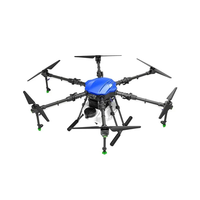
A crop monitoring drone uses an RGB, multispectral or thermal camera to photograph the field from above. The images reveal patches with weaker growth, water stress, pest damage or uneven emergence. They do not diagnose the cause on their own — you or an agronomist must visit those patches to confirm, then treat only where needed.
Key takeaways
- RGB shows visible damage; multispectral shows stress before it is visible.
- Regular flights at the same stage make changes easy to compare.
- Always ground-truth a problem patch before treating it.
- Monitoring can guide targeted spraying and save inputs.
What monitoring can reveal
- Patches of weak or uneven growth
- Gaps from poor germination or emergence
- Waterlogging or dry patches from irrigation problems
- Early signs of pest or disease spread
- Lodging after wind or rain
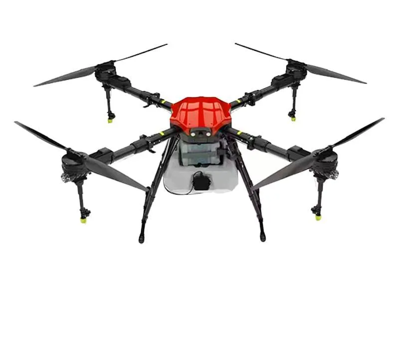
Types of cameras used
| Camera | What it shows | Typical use |
|---|---|---|
| RGB (normal colour) | Visible differences, gaps, lodging | General scouting, area measurement |
| Multispectral | Plant vigour indices such as NDVI | Early stress detection, zoning |
| Thermal | Canopy temperature differences | Water stress, irrigation checks |
A drone map does not replace field checks
A colour difference on a map tells you where the crop is different, not why. The cause could be pests, disease, nutrient shortage, water, soil or even a planting error. Visit the marked patches, inspect the plants and, if needed, take samples or consult your KVK (opens in a new window) or agronomist before deciding on a treatment.
How to use monitoring well
Fly at key crop stages
Plan flights at emergence, active growth and before flowering, when decisions about inputs matter most. Flying at the same time of day keeps light conditions comparable.
Compare over time
One map is a snapshot; a series of maps shows whether a problem area is growing or recovering after treatment.
Link to action
Use the problem zones to plan targeted spraying, irrigation fixes or replanting, instead of treating the whole field the same way.
Service availability
Crop monitoring is most useful for larger farms, FPOs, plantations, seed producers and research plots. [Confirm whether this service is available.] Call us to discuss your crop and area.
Crop monitoring through the season
| Stage | What monitoring can show | Possible action |
|---|---|---|
| Emergence | Gaps, uneven germination | Gap filling or replanting |
| Vegetative growth | Weak patches, waterlogging, nutrient stress | Targeted nutrient spray, drainage fix |
| Pre-flowering | Pest or disease hotspots | Spot spraying after field confirmation |
| Grain fill / fruiting | Lodging, late stress | Harvest planning, damage assessment |
Satellite images vs drone monitoring
Free satellite images can show broad changes across a farm, but their resolution is limited and clouds often block the view during the monsoon. Drones fly below the clouds and capture much finer detail — individual rows, small patches and even single plants.
Many large farms combine both: satellite images to watch the overall picture and drone flights to examine problem areas closely. For smaller farms, a drone flight at one or two critical stages is often enough.
Making monitoring data useful
- Name each field and keep maps in a dated folder
- Write down what you found on the ground at each marked patch
- Record what treatment you applied and where
- Compare the next map to see if the patch improved
Who should consider crop monitoring
Crop monitoring gives the best return where the area is large, the crop is valuable or the cost of a missed problem is high. Plantations, orchards, seed production farms, contract farming projects and FPOs advising hundreds of members all benefit from seeing their fields from above.
For a farmer with a few acres, regular field walks remain the most practical way to scout. Drone monitoring can still help after a storm, during a pest alert in the area or when part of the field is hard to reach.
Frequently asked questions
What does a crop monitoring drone do?
It photographs the field from above so you can see areas where crop growth differs, then scout those areas on the ground.
Can a drone tell me which disease my crop has?
No. It shows where the crop is stressed. The cause must be confirmed by a field visit or an expert.
What is NDVI?
NDVI is a vegetation index calculated from multispectral images. It shows relative plant vigour across the field.
How often should I fly a monitoring drone?
At key stages such as emergence, active growth and pre-flowering, or after events like heavy rain or a pest alert.
Is crop monitoring useful for small farms?
It gives the most value on large areas. Small farmers can often scout on foot more cheaply.
How do I ask about crop monitoring?
Call or WhatsApp 8282802150 with your crop, area and what you want to find out.
Is drone monitoring better than satellite imagery?
Drones give much higher resolution and work under clouds; satellites cover large areas cheaply. Many farms use both for different purposes.
Can the same drone monitor and spray?
Spraying drones carry cameras for navigation, but proper monitoring needs a dedicated mapping or multispectral camera and processing software. Usually separate drones are used.
What resolution do I need for crop monitoring?
It depends on the question. Row-level problems need a few centimetres per pixel; broad zone mapping can use coarser resolution and fly higher.
About this guide
- Written by
- Kisan Drone team, Noida. We work with farmers, FPOs and drone operators on spraying, buying and training questions.
- Reviewed by
- Mohit Singh, Drone Operator — 10 years of drone-spraying experience
- Last updated
How we write
We do not publish invented prices, subsidy amounts, yields or reviews. Rules and schemes are checked against official sources, and anything that depends on your crop, product or location is marked as such. Found an error? Email enquiry@kisandrone.co.in.