Quick answer
An agricultural mapping drone takes overlapping aerial photos in a planned grid, which software stitches into an orthomosaic — a single, scaled image of the field. It is used to measure area accurately, mark boundaries and obstacles, plan spraying routes, plan drainage and track crop progress. Accuracy improves with RTK or ground control points.
Key takeaways
- An orthomosaic is a corrected, measurable map, not just a photo.
- Useful for spray-route planning, area measurement and drainage planning.
- RTK or ground control points improve positional accuracy.
- A mapping drone is different from a spraying drone.
What mapping gives you
- Accurate field area for planning inputs and service billing
- Boundaries, bunds, channels, trees and power lines marked on the map
- Spray-route planning with obstacles excluded
- Elevation models for drainage and levelling (with suitable processing)
- A record of crop progress across the season
How a mapping flight works
Planning
The pilot draws the area in the mapping app and sets the height and photo overlap. Lower height gives more detail but takes longer.
Flight
The drone flies automatic parallel lines and takes photos with enough overlap for stitching.
Processing
Photogrammetry software combines the images into an orthomosaic and, if needed, a digital surface or elevation model.
Accuracy options
| Method | What it means | When to use |
|---|---|---|
| Standard GNSS | Good relative accuracy | Area estimates, general planning |
| RTK / PPK drone | High positional accuracy | Precise measurement, repeat mapping |
| Ground control points | Surveyed markers on the ground | Highest accuracy work |
Who it is useful for
- Large farms and plantations planning inputs zone by zone
- Orchards and vineyards planning tree-by-tree spraying
- FPOs and drone service providers planning routes across many fields
- Agri-research and seed production plots
What you receive
Deliverables usually include the stitched map and an area report, and can include an elevation map. [List your deliverables.] Map ownership and how files are shared should be agreed in advance.
How mapping makes drone spraying better
Spraying drones need a clean field boundary and a list of obstacles to fly safely and efficiently. A map from a mapping drone gives exactly that. The pilot can draw the spray area precisely, exclude trees, poles and houses, and plan the most efficient route before arriving at the field.
For orchards and plantations, a high-resolution map can be used to identify individual trees, so the spraying drone treats tree rows rather than empty ground. This saves product and time and reduces drift into gaps.
Preparing your field for a mapping flight
- Share the location and approximate boundary in advance
- Clear the take-off area of people and animals
- Tell the pilot about tall trees, towers or power lines
- Place ground control markers if high accuracy is required
- Choose a day with steady light and low wind
Mapping for planning and records
A season-by-season set of maps becomes a valuable farm record. It shows how fields changed after levelling, drainage work or new plantings. FPOs can use member field maps to plan collective services, input supplies and drone routes across villages.
When agreeing a mapping job, discuss file formats, map resolution and how the data will be shared and stored. You should receive files you can open and use later.
Mapping drone vs satellite and manual measurement
| Method | Detail | Practical notes |
|---|---|---|
| Tape and manual measurement | Low | Slow on large or irregular plots |
| Handheld GPS walk | Medium | Boundary only, no image |
| Satellite image | Medium to low | Cloud cover, coarse resolution |
| Mapping drone | High | Full aerial image with measurable detail |
Choosing the right map resolution
Resolution is measured as ground sampling distance — how many centimetres of ground one pixel covers. Flying lower gives a sharper map but needs more flight time and more photos to process. For area measurement and route planning, moderate resolution is enough. For counting plants, spotting individual tree problems or detailed orchard planning, fly lower for finer detail.
Discuss your purpose with the mapping team so they can balance detail, time and cost. There is no need to pay for very high resolution if your decision does not depend on it.
Rules for mapping flights
Mapping drones follow the same rules as spraying drones. The drone must be registered on Digital Sky (opens in a new window), the pilot must be certified, and the field must be checked on the airspace map before every flight — especially near airports, borders or sensitive installations.
Frequently asked questions
What is an orthomosaic map?
A single, geometrically corrected image stitched from many aerial photos, so distances and areas can be measured on it.
Can a mapping drone measure my field area?
Yes. A properly processed map gives a reliable area measurement. For legal land records, follow the official survey process.
Is a mapping drone the same as a spraying drone?
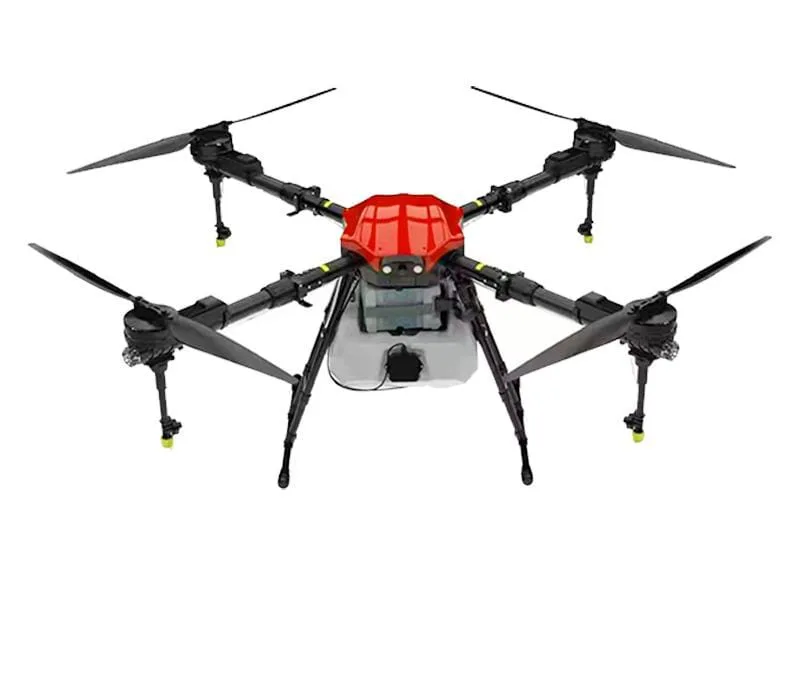
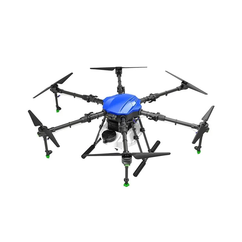
No. A mapping drone carries a camera; a spraying drone carries a tank and nozzles. Some spraying drones use maps made by mapping drones for route planning.
How accurate is drone mapping?
Relative accuracy is good with standard GNSS. RTK/PPK or ground control points are used for higher positional accuracy.
How long does it take to map a field?
It depends on area, flight height and overlap. Processing adds time after the flight.
How do I book field mapping?
Call 8282802150 with your location, area and what you need the map for.
What file formats do drone maps come in?
Commonly GeoTIFF for maps and elevation models, KML/KMZ or shapefiles for boundaries, and PDF or images for easy viewing. Agree formats before the job.
Can I use a drone map to plan crop rotation?
Yes. Dated maps show which fields were used for which crop and how they performed, which helps plan rotation and inputs.
About this guide
- Written by
- Kisan Drone team, Noida. We work with farmers, FPOs and drone operators on spraying, buying and training questions.
- Reviewed by
- Mohit Singh, Drone Operator — 10 years of drone-spraying experience
- Last updated
How we write
We do not publish invented prices, subsidy amounts, yields or reviews. Rules and schemes are checked against official sources, and anything that depends on your crop, product or location is marked as such. Found an error? Email enquiry@kisandrone.co.in.